 >
>
 >
>
 >
>
 >
>
 >
>
Zbirka: Avtokarte in cestni atlasi
214 rezultatov
-
-
 Great Britain & Ireland - Michelin Mini Map 8713(2014) MICHELINSmall and practical, these maps are easy to use thanks to double sided pocket format and includes multi-language key, relief shading, spot heights and other geographical features. Ferry connections are marked but railways are not included.4,47 €
MICHELIN
Great Britain & Ireland - Michelin Mini Map 8713
Small and practical, these maps are easy to use thanks to double sided pocket format and includes multi-language key, relief shading, spot heights and other geographical features. Ferry connections are marked but railways are not included.
Zaloga po trgovinah
Rezultati:
-
 Abruzzo & Molise - Michelin Local Map 361(2008) MICHELINMichelin local maps are on a scale of 1:150,000 up 1:220,000 with easy to read mapping using satellite images. With additional tourist information, these maps are ideal for planning your visit. Series for France and Italy.8,95 €
MICHELIN
Abruzzo & Molise - Michelin Local Map 361
Michelin local maps are on a scale of 1:150,000 up 1:220,000 with easy to read mapping using satellite images. With additional tourist information, these maps are ideal for planning your visit. Series for France and Italy.
Zaloga po trgovinah
Rezultati:
-
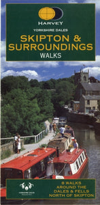
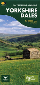 Yorkshire Dales(2007)This map provides a colourful overview of the Dales - famous Swaledale, Wensleydale, Wharfedale & Nidderdale. Colour shading makes it easy to pick out the hills & dales. Driveable roads are shown & steep hills marked. There is an introduction to each area13,70 €
Yorkshire Dales
This map provides a colourful overview of the Dales - famous Swaledale, Wensleydale, Wharfedale & Nidderdale. Colour shading makes it easy to pick out the hills & dales. Driveable roads are shown & steep hills marked. There is an introduction to each area
Zaloga po trgovinah
Rezultati:
-
 East Anglia Regional Road Atlas(2018) GEOGRAPHERS' A-Z MAP COMPANYThis A-Z map of East Anglia is a full colour regional road atlas featuring 39 pages of continuous road mapping extending from Grantham and Milton Keynes in the west to Lowestoft on the east coast, and from St Albans and Chelmsford in the south to Cromer o11,11 €
GEOGRAPHERS' A-Z MAP COMPANY
East Anglia Regional Road Atlas
This A-Z map of East Anglia is a full colour regional road atlas featuring 39 pages of continuous road mapping extending from Grantham and Milton Keynes in the west to Lowestoft on the east coast, and from St Albans and Chelmsford in the south to Cromer o
Zaloga po trgovinah
Rezultati:
-

-
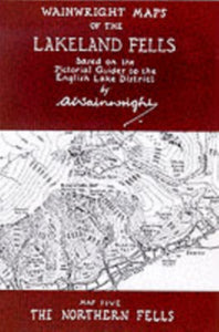
 Wainwright Maps of the Lakeland Fells: Southern Fells(1996) WAINWRIGHT, ALFRED10,44 €
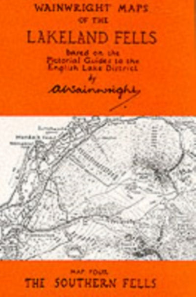
WAINWRIGHT, ALFRED
Wainwright Maps of the Lakeland Fells: Southern Fells
Zaloga po trgovinah
Rezultati:
-
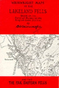 Wainwright Maps of the Lakeland Fells: Far Eastern Fells(1997) WAINWRIGHT, ALFRED10,44 €
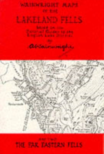
WAINWRIGHT, ALFRED
Wainwright Maps of the Lakeland Fells: Far Eastern Fells
Zaloga po trgovinah
Rezultati:
-
-
-
 L/R MAP 065 FLAT FALKIRK & LINLITHGOW D(2006) ORDNANCE SURVEYFlat edition of Ordnance Survey's Landranger Map.Scale 1:50,000. Covers area :-FALKIRK & LINLITHGOW, DUNFERMLINE.2,30 €
ORDNANCE SURVEY
L/R MAP 065 FLAT FALKIRK & LINLITHGOW D
Flat edition of Ordnance Survey's Landranger Map.Scale 1:50,000. Covers area :-FALKIRK & LINLITHGOW, DUNFERMLINE.
Zaloga po trgovinah
Rezultati:
-
 L/R MAP 012 FLAT THURSO & WICK JOHN OG(2006) ORDNANCE SURVEYFlat edition of Ordnance Survey's Landranger Map.Scale 1:50,000. Covers area :-THURSO & WICK, JOHN O'GROATS.2,30 €
ORDNANCE SURVEY
L/R MAP 012 FLAT THURSO & WICK JOHN OG
Flat edition of Ordnance Survey's Landranger Map.Scale 1:50,000. Covers area :-THURSO & WICK, JOHN O'GROATS.
Zaloga po trgovinah
Rezultati:
-
L/R MAP 009 FLAT CAPE WRATH DURNESS & S(2006) ORDNANCE SURVEYFlat edition of Ordnance Survey's Landranger Map.Scale 1:50,000. Covers area :-CAPE WRATH, DURNESS & SCOURIE.2,30 €
ORDNANCE SURVEY
L/R MAP 009 FLAT CAPE WRATH DURNESS & S
Flat edition of Ordnance Survey's Landranger Map.Scale 1:50,000. Covers area :-CAPE WRATH, DURNESS & SCOURIE.
Zaloga po trgovinah
Rezultati:
-
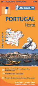 Portugal Norte - Michelin Regional Map 591(2013) MICHELINWith MICHELIN Regional Maps, find more than just your way! In addition to Michelin's clear and accurate mapping, the regional map series includes all the practical information for a trouble free journey, including major town plans as well as tourism infor8,95 €
MICHELIN
Portugal Norte - Michelin Regional Map 591
With MICHELIN Regional Maps, find more than just your way! In addition to Michelin's clear and accurate mapping, the regional map series includes all the practical information for a trouble free journey, including major town plans as well as tourism infor
Zaloga po trgovinah
Rezultati:
-
 Big Sky Country - Zoom Map 172(2014) MICHELINMichelin's Zoom collection are characterized by the high precision of their detailed scale, specially adapted for very touristy areas or with a high density road network, including new developments and industrial areas. Scales from 1:53,000 to 1:1,267,2008,95 €
MICHELIN
Big Sky Country - Zoom Map 172
Michelin's Zoom collection are characterized by the high precision of their detailed scale, specially adapted for very touristy areas or with a high density road network, including new developments and industrial areas. Scales from 1:53,000 to 1:1,267,200
Zaloga po trgovinah
Rezultati:
-

-

-
-
 Yorkshire Dales(2005)Walking map suitable for day visitors. Clear and easy to use. Extremely affordable price with useful information and contact details.11,98 €
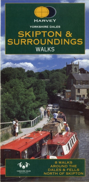
Yorkshire Dales
Walking map suitable for day visitors. Clear and easy to use. Extremely affordable price with useful information and contact details.
Zaloga po trgovinah
Rezultati:
-
 Cairngorms and Lochnagar(2019) HARVEY MAP SERVICES LTD.Heavy weight mountains on a lightweight map. 40 Munros & 13 Corbetts on one map. Printed on polyethylene - durable, tearproof & 100% waterproof.31,88 €
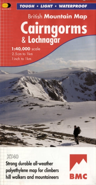
HARVEY MAP SERVICES LTD.
Cairngorms and Lochnagar
Heavy weight mountains on a lightweight map. 40 Munros & 13 Corbetts on one map. Printed on polyethylene - durable, tearproof & 100% waterproof.
Zaloga po trgovinah
Rezultati:


 >
>
 >
>
 >
>
 >
>
 >
>


